Our multidisciplinary team delivers integrated solutions across the full geospatial value chain, supported by certified professionals and experienced in-house trainers.
Key Capability Areas
Drones & UAS Solutions
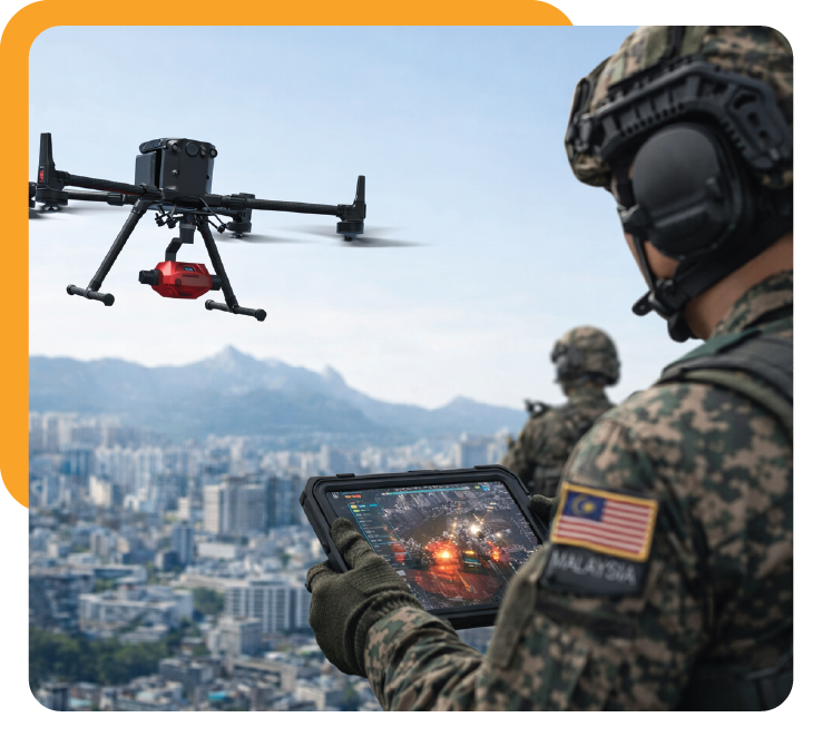
Enterprise-grade drone platforms and workflows for surveying, inspection, mapping, monitoring, and data acquisition. (Read More ->)
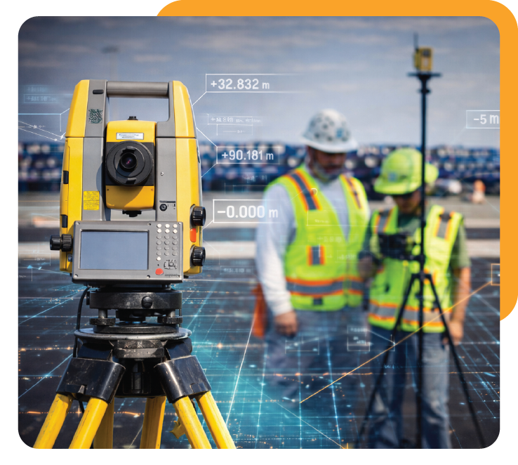
Surveying Instruments (Total Station & GNSS) High-precision positioning solutions for land surveying, construction, and infrastructure projects.
Mobile & Terrestrial Laser Scanning
Advanced 3D scanning solutions for asset documentation, as-built surveys, and digital twin development.
High-Resolution Satellite Imagery Access to premium optical, radar, IfSAR, and LiDAR satellite datasets for regional and national-scale analysis.
Airborne Data Capture & Mapping Services
LiDAR, photogrammetry, and digital twin creation using manned and unmanned platforms.
AI Imagery Analysis & Feature Extraction
Automated object detection, change detection, and spatial intelligence for faster, smarter insights.
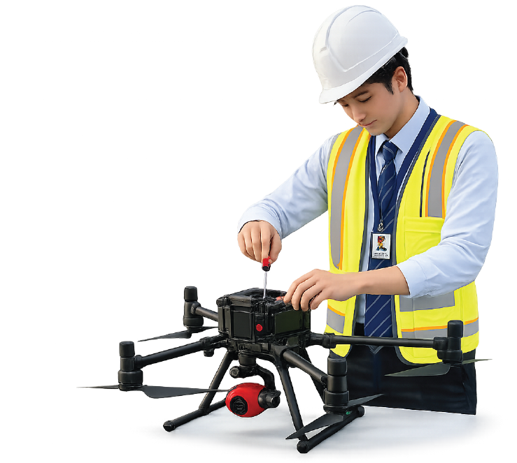
Repair, Calibration & Maintenance
Certified repair and calibration services for Total Stations, GNSS equipment, and drones, ensuring long-term accuracy and uptime.
GIS & Mapping System Integration
Custom integration of GIS platforms, enterprise databases, and mapping software for scalable, secure deployment.
Advancing Geospatial Technology for Smarter Decisions